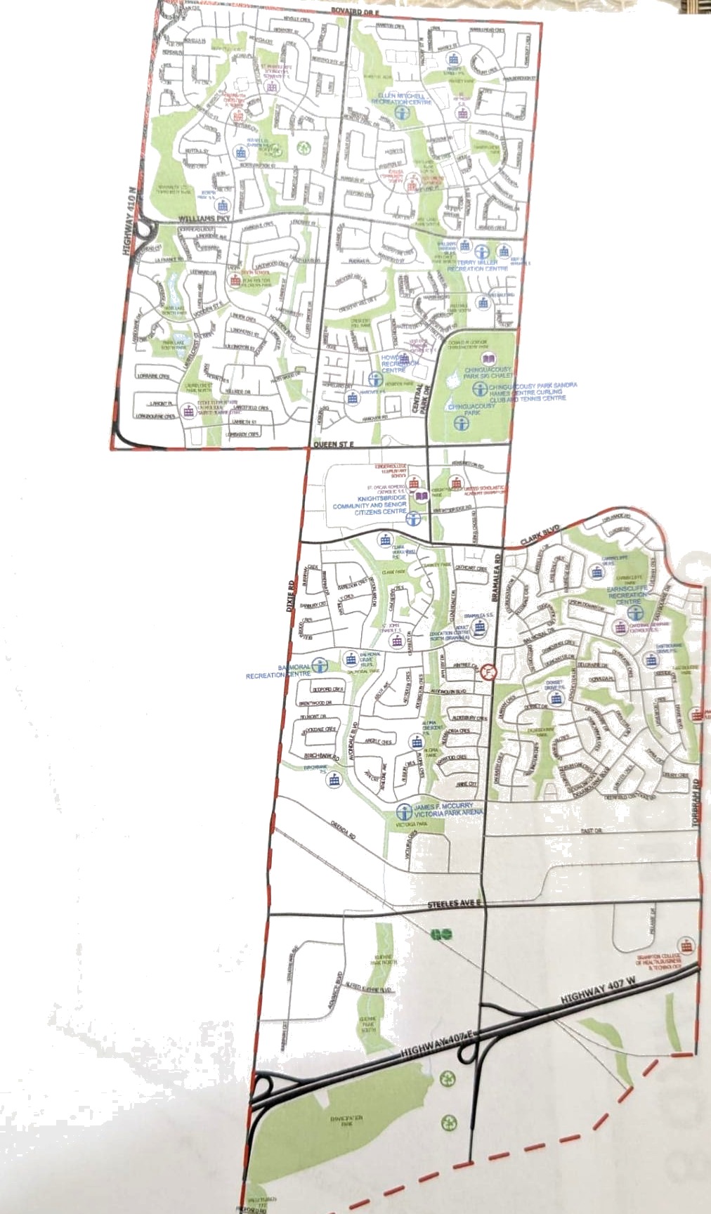
North of Queen St E, west to Hwy 410
Ward 7
Established neighbourhoods around Chinguacousy Park, Bramalea and Dixie, with employment corridors stretching south toward Steeles. Mature streets that deserve real investment.
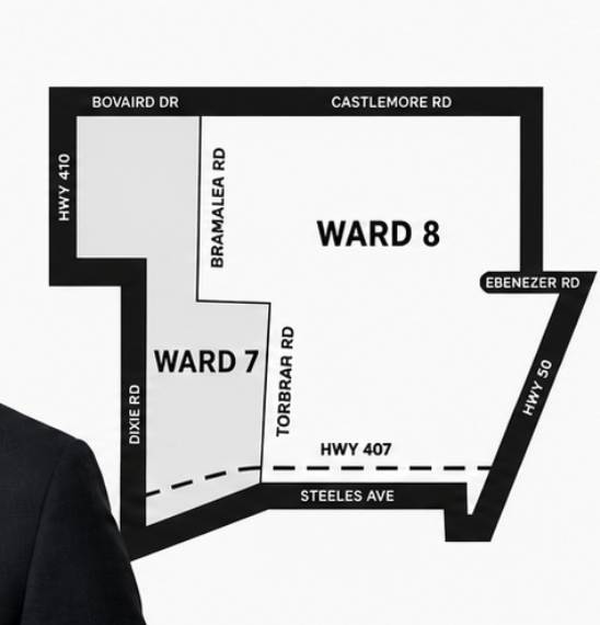
From Bovaird Drive in the north to Highway 407 in the south, between Highway 410 and Highway 50, these wards hold some of Brampton's fastest growing neighbourhoods and the families that make this city.
Bounded by the major roads that frame our neighbourhoods, here is the territory Rakesh will represent at Brampton City Council.
Established neighbourhoods around Chinguacousy Park, Bramalea and Dixie, with employment corridors stretching south toward Steeles. Mature streets that deserve real investment.
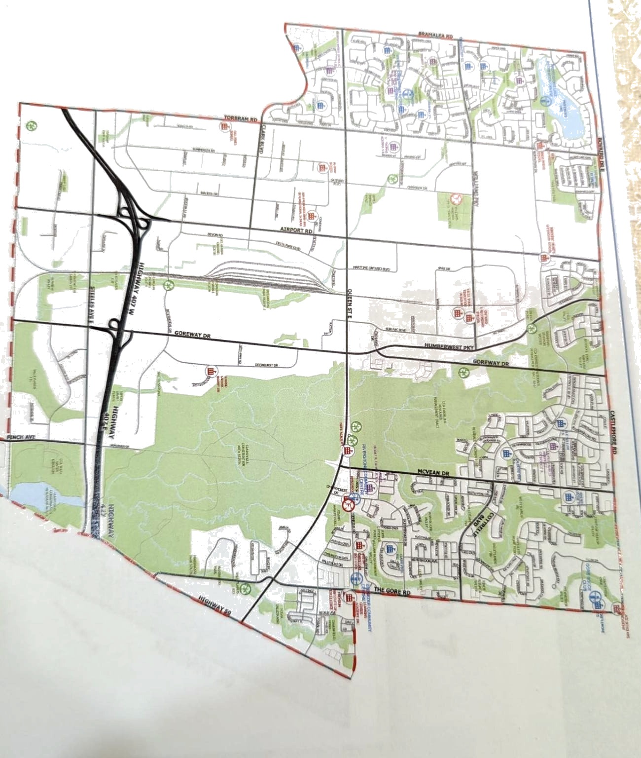
Fast-growing communities along Bramalea, Goreway and Castlemore, with new families looking for the schools, parks and services they were promised when they moved in.